Shasta Lake Corridor campgrounds

16 published campgrounds in this region.

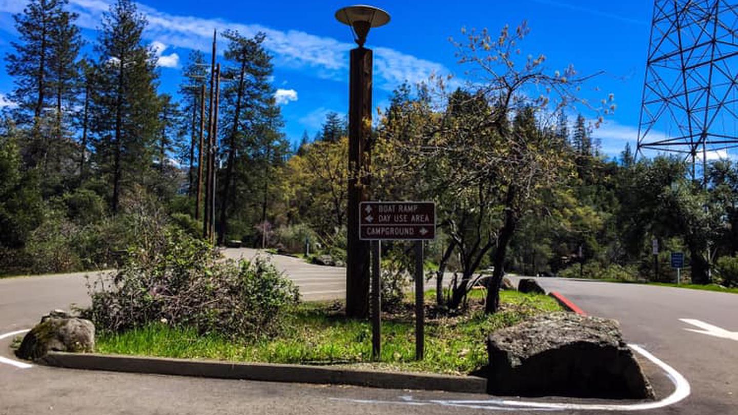
Antlers Campground entrance sign, Shasta LakeUSFS PUBLIC

Antlers Campground

Sacramento Arm · Shasta Lake Corridor

  • Tent & RV
  • Max 55 ft
  • Dry Camping (no hookups)
  • $28–$58 / night

Local insider tip: Three loops, three different seasons, and Recreation.gov hides which loop a site is in — the loop number only appears buried in each site's description text. Loop 1 is the shoulder-season loop, the only one open in March, April and October. Loops 2 and 3 run May 10 to September 12 only. Loop 2 is the best all-round loop. Six of its fourteen sites are explicitly described as shady, it holds the only two sites described as being near the trail to the lake view — 015 and 018 — and it contains site 046, the longest in the campground at 55 feet. Loop 3 is the big-rig loop, with four sites at 50 feet plus 029 and 035 at 45. Site 037 in Loop 3 gets singled out as very spacious and isolated. Loop 1 is where the freeway complaints cluster. The three angriest reviews about I-5 name sites 4, 5 and 9, and all three are Loop 1. Site 059 is literally described as "near exit". If you are booking Loop 1 for the shoulder season, take the noise seriously. The sixteen doubles are 006, 007, 009, 013, 017, 019, 022, 030, 031, 033, 041, 042, 045, 049, 051 and 057 — that is 16 doubles plus 42 reservable singles plus the host site at 002, which reconciles exactly to the official 59. Site 009 is a double rated for only 22 feet, which is a large group in a small hole. Site 022 is the best big-rig double at 40 feet. Watch the short ones: 009 at 22 feet, then 024, 044 and 058 at 25, and 007 at 26. Sites 034 through 042 along Antlers Road are reported as too uneven for larger rigs, and site 021 has trees close enough to interfere with slides and awnings. The camp hosts get unusually consistent praise here — by name, repeatedly, across years. The host sits at site 002 and sells firewood. Two hazards the Forest Service posts officially: bears frequent the area and every site has a locker, and poison oak grows in the campground. Poison oak is the second most repeated complaint after noise. Add June bugs, mosquitoes, dust, and real heat — this sits at about 1,100 feet, so 90°F in June and worse in July.

Recreation.gov

  • Boat ramp
  • Shade canopy
  • Dog friendly
  • Pull-through
  • Flush toilets
  • Vault toilets
  • Fishing
  • Picnic tables
  • Fire rings
  • Cell service
  • Food storage required
Bailey Cove Campground, McCloud Arm of Shasta LakeUSFS PUBLIC

Bailey Cove Campground

McCloud Arm · Shasta Lake Corridor

  • Tent & RV
  • Max 45 ft
  • Dry Camping (no hookups)
  • $28–$60 / night

Local insider tip: Seven sites, one loop, and they are not equal. Sites 1 and 7 are the two rated for 45 feet; everything else is 35. Site 7 is the best on the loop and it is not close — double-wide, nearly level, two picnic tables, no neighbours on either side, and close to the restrooms. Site 1 is the quiet one, furthest from the freeway. Site 4 is the private one and picks up shade from about 3pm in July. Site 3 is large and shaded by about 4:30pm, and one family has been booking sites 2 and 3 together for over twenty years. Site 5 has a tent pad too small for a real tent — campers have arrived and left. Sites 3 and 4 draw repeat complaints about noise and unclear boundaries. Now the thing every other guide leaves out: you will hear Interstate 5. The campground sits about six tenths of a mile from the freeway with no ridge in between, and jake brakes carry at night. It is the single most common complaint across every review platform, and it is not universal — plenty of people sleep fine — but if quiet is why you camp, book site 1 or go elsewhere. Bring water regardless of what any page says. The Forest Service lists potable water as available; its own day use page for the same complex says it is not; and the concessionaire's site says flush toilets and water spigots in one sentence and "currently has no potable water" in the next. Campers reported an outage through 2022 and 2023 and working flush toilets again in 2026. Call the ranger station at 530-275-1587 before you rely on it. Heat is the real enemy here — 109°F has been logged in August, dropping into the 70s after sundown. Mosquitoes are bad at dusk, poison oak is abundant right up to the sites, and foxtails come in with the dry grass. Bear boxes at every site are not decorative.

Recreation.gov

  • Boat ramp
  • Shade canopy
  • Dog friendly
  • Flush toilets
  • Swimming
  • Fishing
  • Picnic tables
  • Fire rings
  • Food storage required
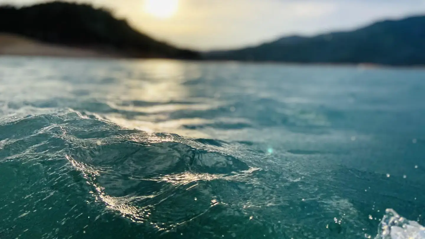
Brandy Creek RV Campground above Whiskeytown LakeNPS PUBLIC

Brandy Creek RV Campground

Whiskeytown · Shasta Lake Corridor

  • RV only
  • Max 35 ft
  • Dry Camping (no hookups)
  • $20 / night

Local insider tip: Read the self-contained rule before you book, because it is stricter than it sounds. The Superintendent's Compendium says camping here is limited to motorhomes and trailers equipped with fully self-contained toilet and wastewater devices, and that no tents are permitted. Recreation.gov puts it even more bluntly: sleeping is allowed only in self-contained vehicles. There are no restrooms in the campground at all — not vault, not flush. Your rig's own toilet is the only one. A van or truck camper without a built-in toilet and grey and black tanks does not qualify as written. Pop-up tent trailers are explicitly allowed if they do have them. What you get for that constraint is the cheapest developed site in this directory at $20, a genuinely quiet campground, and the best cell signal we have found anywhere on the lake — T-Mobile and AT&T both testing 5G excellent as recently as this summer. The rig-length picture needs care. Recreation.gov says 35 feet on every site record, with no per-site variation. Campers say otherwise. One found the layout too narrow even for a 22-foot trailer. Another with a 36-foot fifth wheel reported very few sites that would take it and moved to Oak Bottom instead. Only one reviewer has commented on levelness, calling the spaces wide and almost level, which is too thin to generalise from. Treat 35 feet as the paper ceiling. There is a site-count oddity worth knowing. Recreation.gov's availability grid shows 15 bookable sites numbered 1 to 15, but the same system holds live individual records for sites up to 32, and one independent guide describes 32 RV spaces on asphalt. We could not establish whether the higher-numbered spaces are closed, retired or simply out of the reservation inventory. If you want more choice than 15 sites, call the park on 530-246-1225 and ask. Two practical notes. If you run solar, the oak and pine cover that reviewers praise for shade is the same cover two others blamed for not charging their panels — pick your site accordingly. And campers report aggressive ants; one described colonies that would have been into the camper in minutes. Food storage is a legal requirement. With no lockers here, your rig is the compliant storage: everything out of sight, inside, unless it is in immediate use.

Recreation.gov

  • Boat ramp
  • Shade canopy
  • Dog friendly
  • Dump station
  • Potable water
  • Swimming
  • Fishing
  • Cell service
  • Generator hours restricted
  • Food storage required
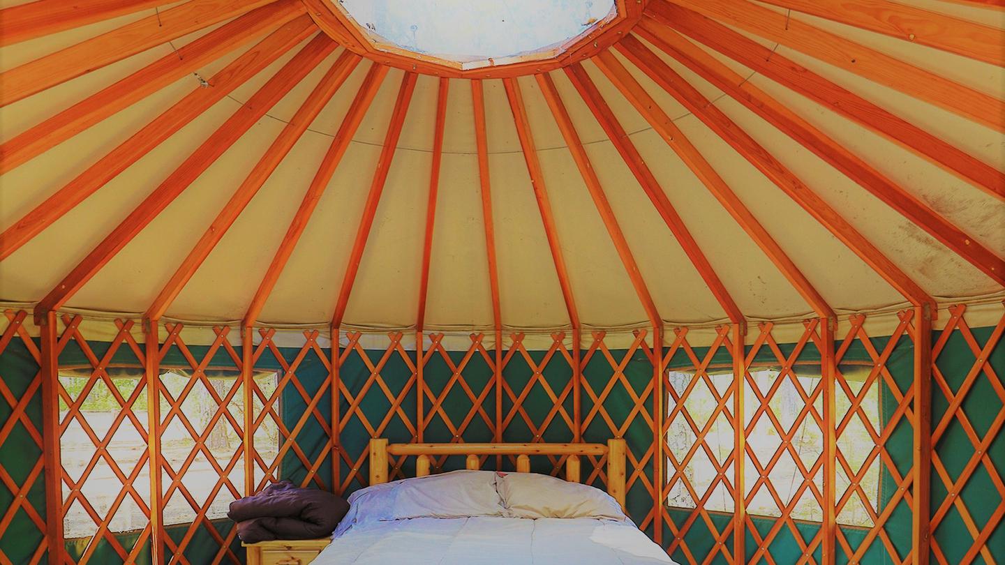
Ellery Creek Campground on the McCloud Arm of Shasta LakeUSFS PUBLIC

Ellery Creek Campground

McCloud Arm · Shasta Lake Corridor

  • Tent & RV
  • Max 40 ft
  • Dry Camping (no hookups)
  • $28 / night

Local insider tip: Nineteen sites is small enough that the per-site records matter more here than anywhere else on the arm, and Recreation.gov's own site notes do most of the work for you. Six sites are flagged "lake access": 010, 011, 012, 013, 014 and 016. Three of those — 010, 011 and 012 — also read "near water faucet and restroom," which makes them the practical picks. Site 012 is the only one whose note actually begins "Shady," and it is rated 40 ft. Sites 013, 014 and 016 begin "Sunny," which in a canyon that bakes through July and August is a warning, not a selling point. For length, the four sites above 30 feet are 010 (40 ft), 011 (35 ft), 012 (40 ft) and 019 (40 ft). Eight more are rated exactly 30 — no margin at all — and 001, 002, 017 and 018 top out at 20. If you are towing anything substantial, you are choosing from four sites, and they are the same four everyone else wants. Book on the six-month window. Two per-site cautions worth carrying with you. Recreation.gov flags site 008 as "difficult to back trailer into site." And a camper reported in June 2024 that site 011 will not take a trailer over 20 feet because of a retaining wall on the road — which directly contradicts Recreation.gov's 35 ft rating for that site. Nobody has resolved it. There is no camp host here, and it shows. Campers report two garbage cans for the whole campground and not emptied daily, overfilled trash lockers, and restrooms running out of paper. Bring your own supplies and pack your trash out. One reviewer in 2025 found the bear locker at site 019 unlockable because the key was broken. The most-repeated complaint by a wide margin is mosquitoes — May, June, July, it does not matter, and one camper said bug spray barely helped. Poison oak and blackberries grow inside the sites themselves, not just along the trails. Rattlesnakes have been reported twice in summer. Bears are around: a cub across the creek in July, large prints in August, and lockers at every site for a reason. On water: Recreation.gov lists water spigots and seven site records read "near water faucet," and campers have used them as recently as May 2026. But the Forest Service's own page says flatly that potable water is not available, and one camper in May 2021 found the pumps off. Treat a working tap as a bonus and arrive full.

Recreation.gov

  • Shade canopy
  • Dog friendly
  • Vault toilets
  • Potable water
  • Swimming
  • Fishing
  • Picnic tables
  • Fire rings
  • Food storage required
Hirz Bay Campground on the McCloud Arm of Shasta LakeUSFS PUBLIC

Hirz Bay Campground

McCloud Arm · Shasta Lake Corridor

  • Tent & RV
  • Max 50 ft
  • Dry Camping (no hookups)
  • $28–$56 / night

Local insider tip: Forty-six sites is a lot of choice, and the per-site records reward reading them. Site 9 is the standout for anything long — 50 feet, paved, double-rated, and one of only two true pull-throughs on the whole campground. Site 10 is the other. Everything else is a back-in, and the sites are not all level, so bring blocks. The ten doubles are 9, 20, 27, 29, 35, 36, 40, 42, 45 and 46. Site 27 has a repeat visitor who has booked it three years running and calls it the most spacious. Site 46 gets named for privacy and for sitting close to both water and bathrooms. Site 35 is the only one the Forest Service itself labels secluded — though reviewers also report yellow jackets and bear activity there specifically. Site 45 sits right at the Hirz Bay trailhead. Site 21 is the one people complain about. Twenty-four sites carry a full shade rating, which in a place that regularly hits 100°F is the single most useful filter. Sites 16, 18, 24, 26, 28, 37, 39, 43 and 45 are nearest the trail down to the water. Two things to know before you book. The bears here are habituated and active — one camper watched a roughly 500-pound black bear work the lockers at 4am, another party left early after repeated visits, and several people report finding broken lockers. Check yours on arrival and report it if it does not latch. And the poison oak is genuinely everywhere, including inside the sites, which matters most on the unmaintained scramble down to the lake. The other recurring complaint is late-night noise from other campers. Site 6 is designated as the host site, but reviewers repeatedly describe it as unstaffed, and quiet hours going unenforced. On water: the Forest Service page says no potable water is available, while Recreation.gov says there is, and eighteen individual site records mention a faucet next to the site. Campers report working spigots. The infrastructure is clearly there — but the manager's own page says otherwise, so carry your own and treat a working tap as a bonus. The ranger station is 530-275-1587.

Recreation.gov

  • Boat ramp
  • Shade canopy
  • Dog friendly
  • Pull-through
  • Flush toilets
  • Vault toilets
  • Potable water
  • Swimming
  • Fishing
  • Picnic tables
  • Fire rings
  • Cell service
  • Food storage required
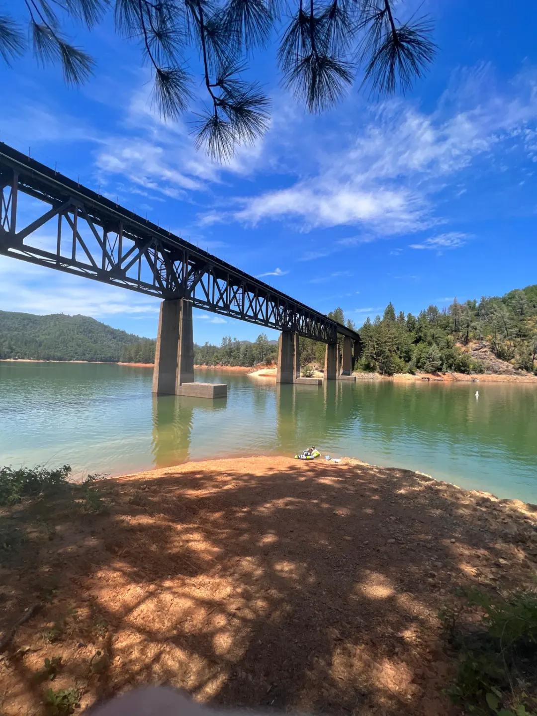
Jones Valley Inlet shoreline camping area on the Pit River Arm of Shasta LakeUSFS PUBLIC

Jones Valley Inlet Shoreline Campground

Pit River Arm · Shasta Lake Corridor

  • Tent & RV · Dispersed
  • Not published
  • Dry Camping (no hookups)
  • $0–$17 / night

Local insider tip: Start with the thing that confuses everybody. The Forest Service publishes ONE page called "Jones Valley Inlet Shoreline Campground." Recreation.gov publishes TWO separate facilities: Jones Valley Inlet Dispersed Area (10157273, this page) and Jones Valley Inlet West Dispersed Area (10157316). Each holds twenty numbered dispersed camping sites and twenty day-use picnic sites. No source reconciles the one against the two. If you are paying by app, check which facility the sign in front of you names, because they are billed separately. The fee here is per vehicle, not per site. Recreation.gov states it outright — "this area is vehicle specific and charges for each vehicle." That changes the maths for a group arriving in three cars, and it is different from how the developed campgrounds down the road work. Winter is free, and that is the genuinely useful thing to know. From roughly mid-September to mid-May no fees are due. The catch is that the portable restrooms and trash service are seasonal too — the Forest Service gives that window as March 1 to October 31 — so free winter camping is pack-in, pack-out camping with no facilities at all. Sanitation is your responsibility from November 1 through the end of February. Now the contradiction we cannot resolve for you, and it is on a single official page. The Forest Service says this area is "open to shoreline camping year round." The same page says camping anywhere below the high water mark "is prohibited between November 1st and March 1st." And the same page again says camping may close December 1 to 31. Those three statements do not fit together. Recreation.gov meanwhile describes free winter dispersed use across exactly that period. If you are planning a winter trip, call the Shasta Lake Ranger Station on 530-275-1587 rather than trusting any of it, including us. Informal mooring is allowed when the lake is high enough, which is the real draw — you can beach a boat at your camp. When it is not high enough, campers describe a long walk: one wrote that the water was very low and another that it was a trek across the road and down the hill. There are no refunds for low water, and Recreation.gov says so explicitly. Bring a hard-sided food container. Recreation.gov's standing note for every Jones Valley facility is that wildlife is frequent and all food must be kept in approved containers, and no official listing shows bear boxes at these dispersed sites. Poison oak is abundant throughout this forest — that is Recreation.gov's wording, on this facility's own page.

First come, first served

  • Dog friendly
  • Swimming
  • Fishing
  • Cell service
  • Food storage required
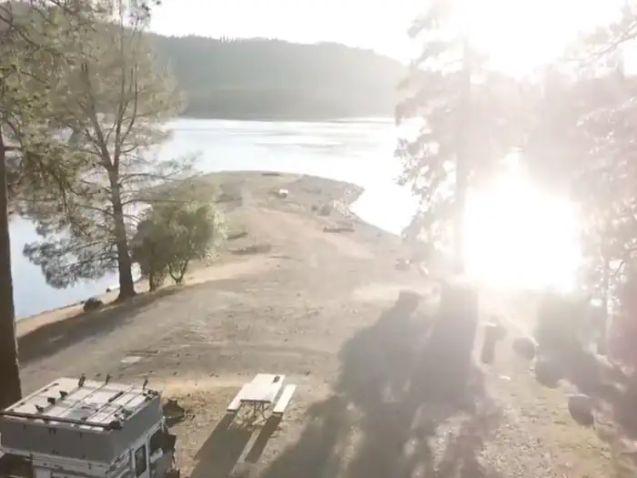
Jones Valley Inlet West dispersed area on the Pit River Arm of Shasta LakeUSFS PUBLIC

Jones Valley Inlet West Dispersed Area

Pit River Arm · Shasta Lake Corridor

  • Tent & RV · Dispersed
  • Not published
  • Dry Camping (no hookups)
  • $0–$17 / night

Local insider tip: West is the closer one. That is the single fact that should decide between the two Jones Valley Inlet shoreline areas: Recreation.gov puts the boat ramp about 1 mile from here and about 2 miles from the Inlet area next door. If you are towing a boat and launching daily, that difference is the whole argument. Everything else is near-identical, which is why people get them mixed up. The Forest Service publishes a single page covering "Jones Valley Inlet Shoreline Campground." Recreation.gov splits the same shoreline into two separately billed facilities — Jones Valley Inlet Dispersed Area (10157273) and Jones Valley Inlet West Dispersed Area (10157316, this one). Each has twenty numbered dispersed camping sites and twenty day-use picnic sites, and West additionally carries a general unnumbered dispersed listing. No official source explains the split. Read the sign in front of you before you pay through the app, because paying the wrong facility is easy. The fee is per vehicle, not per site. Recreation.gov says the area is vehicle specific and charges for each vehicle, so a group in three cars pays three times. This trips people up who are used to the per-site pricing at the developed campgrounds a mile up the road. Winter is free here, in Recreation.gov's own words: pack in, pack out in winter months, typically mid-September to mid-May, with no fees due during that time. The trade is that the portable restrooms and trash service are seasonal, so free camping is also facility-free camping. Note that the Forest Service's page for this shoreline contains three statements about winter that do not reconcile — year-round shoreline camping, a prohibition below the high water mark from November 1 to March 1, and a possible closure December 1 to 31. Call 530-275-1587 before a winter trip. There is almost no camper-generated content about West specifically. Everything published about the "Jones Valley Inlet" reviews online appears to describe either the other Inlet area or, in at least one case, Lower Jones Valley Campground — one review site hosts its Jones Valley Inlet page at a URL slug ending "jones-valley-lower" and describes a small campground with 10 to 12 sites and clean bathrooms, which does not match a twenty-site dispersed shoreline. Treat third-party reviews of this shoreline with suspicion. Bring a hard-sided food container. Wildlife is frequent here per Recreation.gov and no official listing shows bear boxes at these dispersed sites. Poison oak is abundant throughout the forest — Recreation.gov's own wording on this facility.

First come, first served

  • Dog friendly
  • Swimming
  • Fishing
  • Cell service
  • Food storage required
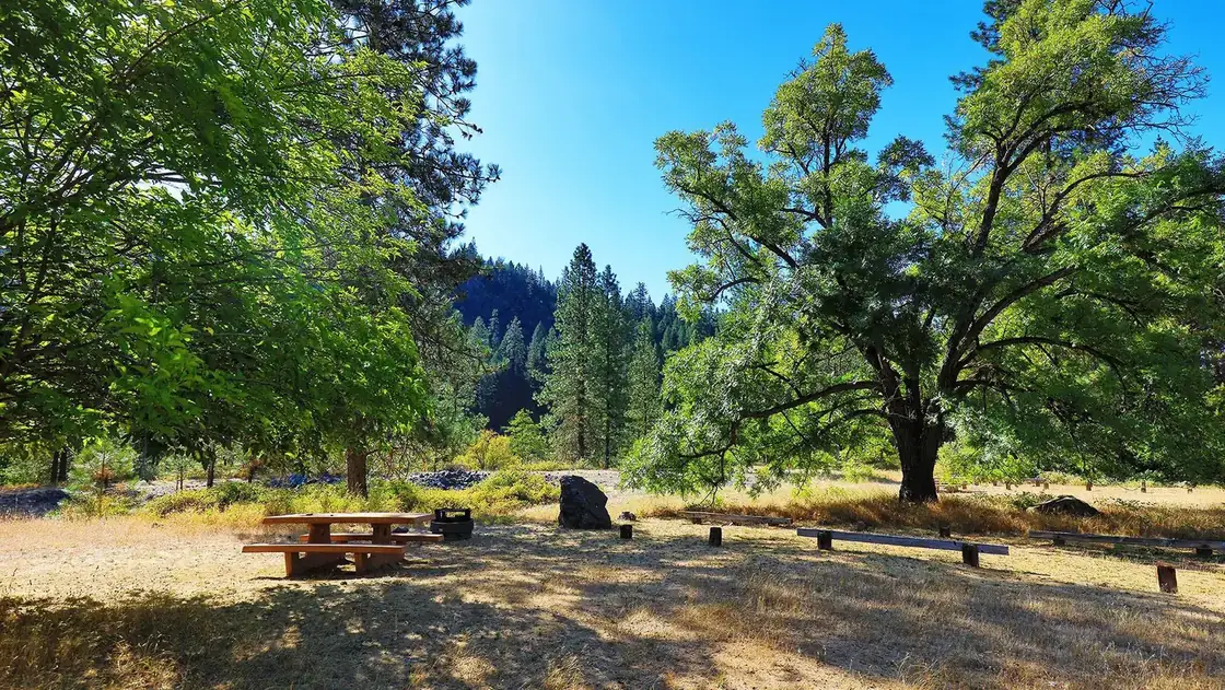
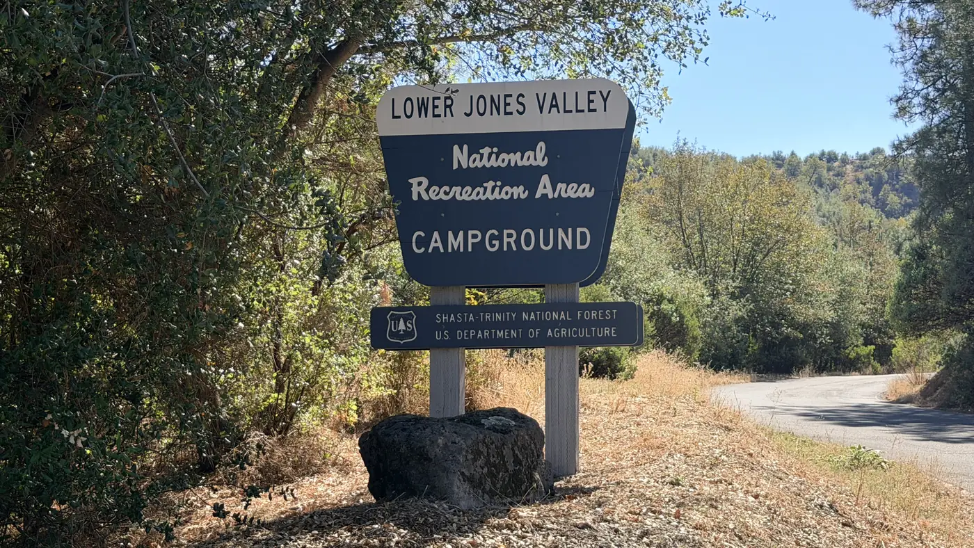
Yurt 22 at Lakeshore East Campground, Shasta LakeUSFS PUBLIC

Lakeshore East Campground

Sacramento Arm · Shasta Lake Corridor

  • Tent & RV
  • Max 45 ft
  • Dry Camping (no hookups)
  • $28–$95 / night

Local insider tip: The two yurts are the reason to know this campground, and they are not interchangeable. Both sit in Loop 2 on the lakeside, both overlook the water. Site 020 has two full-size beds in pine furniture, sleeps four, and takes a 45-foot vehicle. Site 022 sleeps five on a futon plus a twin-over-full bunk, sits next to a historic stone fireplace, and is the closest to both the water tap and the restroom — the better choice with kids. Site 020 is the better choice for a couple or if you are towing. What nobody tells you until you arrive: there is no heat, no air conditioning and no electricity inside either yurt, and linens are not provided. Bring all your own bedding and a lantern. In July and August, when Lakehead averages over 90°F, an unpowered canvas yurt is a real planning decision. Dogs are not allowed inside the yurts, though they are fine outside in a tent or kennel. Yurt check-out is noon, not the 2pm campsite check-out. And this one has actually cost people their booking: site 020 requires you to call 530-275-8113 a week ahead to get the entry code. A camper in June 2025 missed that detail and could not get into the yurt they had paid for. Put the call in your calendar the day you book. For regular sites, the consensus pick is 15 — spacious, good view, easy lake access, and one camper spent fourteen nights there. Site 17 is a double for sixteen people, described officially as sunny and mostly secluded, which is a useful reminder that shade and privacy do not always come together here. Site 13 is the shady lakeside one. Sites 10 and 12 are the only two pull-throughs in the campground. Site 11 is wheelchair accessible. Avoid site 2 — reviewers report sites too close together, poison oak everywhere and no lake access. The raspberry-and-grass undergrowth in the official description is real, and so is the poison oak hiding in it, which Recreation.gov posts as an official notice. Bears too, with bear-proof containers on site. Two more honest notes. Restroom cleanliness reviews swing wildly from spotless to disgusting depending on when you catch it. And two separate 2024 campers arrived to find their reserved site already occupied — screenshot your confirmation.

Recreation.gov

  • Shade canopy
  • Dog friendly
  • Pull-through
  • Flush toilets
  • Potable water
  • Swimming
  • Fishing
  • ADA accessible
  • Picnic tables
  • Fire rings
  • Cell service
Lower Jones Valley Campground on the Pit River Arm of Shasta LakeUSFS PUBLIC

Lower Jones Valley Campground

Pit River Arm · Shasta Lake Corridor

  • Tent & RV
  • Max 30 ft
  • Dry Camping (no hookups)
  • $26–$56 / night

Local insider tip: Lower Jones Valley is the only developed, reliably open campground in the Jones Valley cluster, and it is small — eleven sites, first-come, no way to book ahead. On a summer weekend that is a gamble; midweek and in the shoulder seasons it is the quiet corner of a busy lake. It is also the only one of the three Jones Valley facilities with drinking water. Upper Jones Valley's own Forest Service page says there is none, and the Inlet shoreline areas have none either. If you are camping this arm and want a tap, this is it. A naming quirk that will confuse you at the kiosk: Recreation.gov lists the nine single sites as "Standard Overflow Single" and "Standard Overflow Single 1" through "8." Nothing about this campground is overflow — that is Upper Jones Valley's role, and the label here appears to be a data artifact. The two double sites are not listed individually at all, so their site numbers are not published anywhere we could find. There is also an internal contradiction on Recreation.gov itself worth knowing before you drive out: the facility page says first-come only and no advance payments, while the individual site pages render a date-availability widget that reads as bookable. The Forest Service and the facility page agree it is first-come. Do not turn up expecting a reservation to have held. What you get physically: paved spurs and tent pads, which is a real step up from Upper Jones Valley's unpaved parking, plus a bear box at every site. The campground sits in a small canyon adjacent to the lake — the concessionaire puts the water about 300 yards away at full pool, and that walk lengthens as the lake drops. The Clikapudi Trail trailhead is 50 yards east of the campground. It is a 7.5-mile loop back to the boat ramp parking lot, open to hiking, mountain biking and horses, with a separate one-mile advanced bike loop. Carry water — there is none on the trail and the summer heat here is severe. The Forest Service spells it "Clickipudi" on one page and "Clikapudi" on another; same trail. Camper evidence is thin. The Dyrt has no reviews at all for this campground. An aggregator reports 3.74 stars across 54 reviews with recurring complaints about bathroom cleaning, night noise from parties and trash not being emptied — but that same aggregator gets the fees and the reservability of this campground wrong, so we would not lean on its numbers.

First come, first served

  • Shade canopy
  • Dog friendly
  • Vault toilets
  • Potable water
  • Swimming
  • Fishing
  • Picnic tables
  • Fire rings
  • Cell service
  • Food storage required
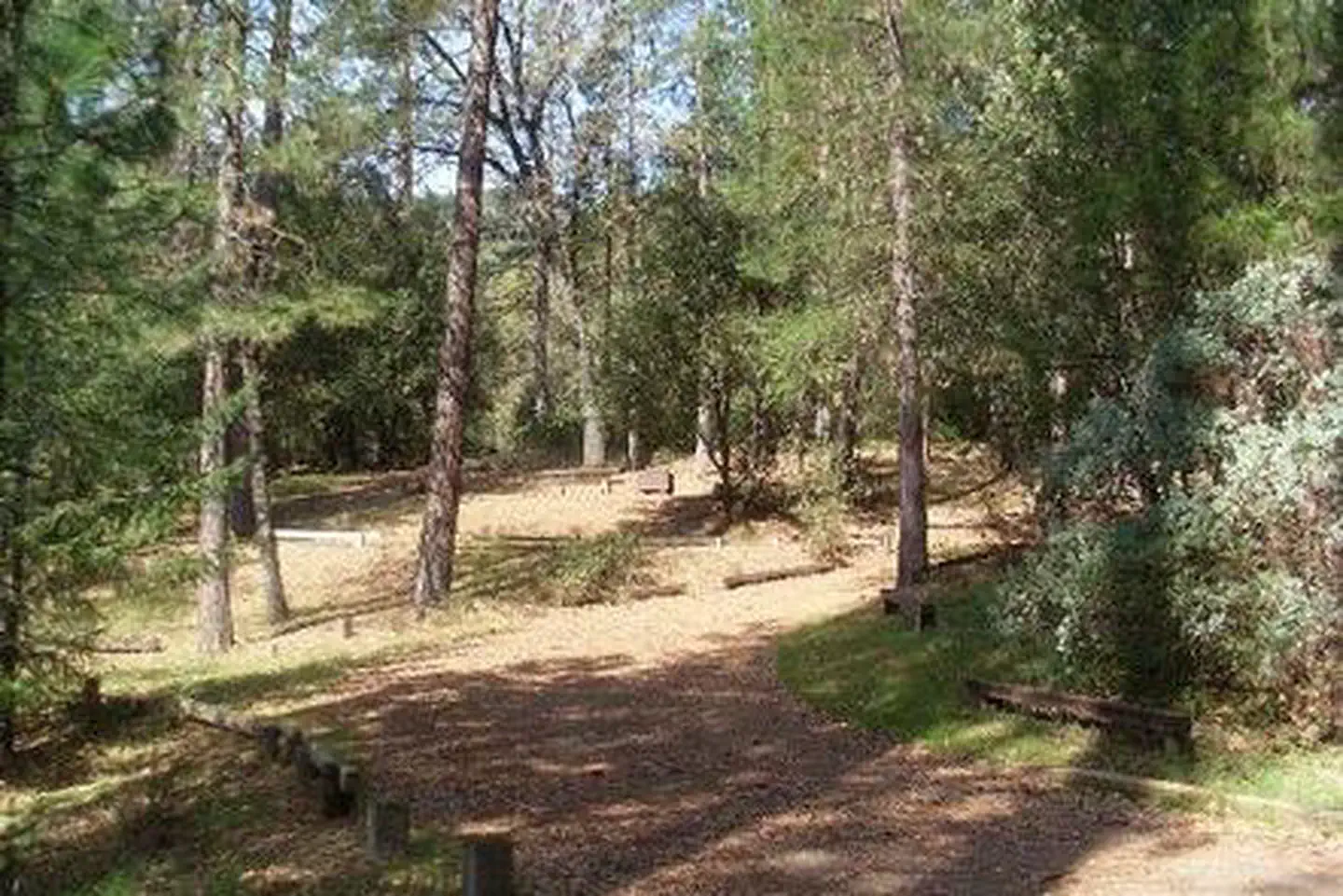
McCloud Bridge Campground at the top of the McCloud Arm of Shasta LakeUSFS PUBLIC

McCloud Bridge Campground

McCloud Arm · Shasta Lake Corridor

  • Tent & RV
  • Max 35 ft
  • Dry Camping (no hookups)
  • $28–$56 / night

Local insider tip: Fourteen sites and no reservations makes this the one campground on the McCloud Arm where showing up is the plan. There is no booking window to win and no waiting list — you drive out, you look, you claim, you pay. That is either the appeal or the dealbreaker, and after a 17-to-20-mile drive with no cell service to check ahead, it is worth knowing which one it is for you before you leave the freeway. Recreation.gov's numbering will confuse you at the kiosk. The booking system splits the sites into "Double 1" through "Double 3" and "Standard 1" through "Standard 11" rather than running 1 to 14, while the photo archives and the posts on the ground appear to number straight through 1 to 14. Nobody publishes the mapping between the two. Read the post, not the app. Site-level detail is genuinely thin here — this campground has almost no camper-generated content online, and none of the 14 Recreation.gov site records carries a length, surface, shade or accessibility field. What we have is one site visit reporting favourites at sites 1, 2, 4 and 5, all sites shaded well by large oaks, moderate privacy where you see your neighbours but do not hear them, and sites large enough for an eight-person tent or several small ones. Every site overlooks the lake — some partial views, some lakefront. The Forest Service guidance is that the most scenic sites are on the lake and river side of the loop. Two things to bring because nobody will sell them to you. Firewood: there is no camp host. And water: Recreation.gov lists vault restrooms and water spigots, one camper confirmed clean bathrooms and working water in May 2021, but the Forest Service's own page says flatly that potable water is not available at this site. That is not boilerplate — the same agency writes "potable water is available" for Moore Creek, Dekkas Rock and Bailey Cove. Arrive full. The hazards are the standard Shasta foothill set plus one specific to here. Recreation.gov posts poison oak as abundant throughout the forest and requires food and scented toiletries in the bear lockers. Rattlesnakes are reported active in summer. And the canyon funnels wind — a site visit noted it gets windy in summer, which is worth thinking about for awnings and tarps. One camper found the bear boxes full of other people's trash and the cans overflowing, which is what happens without a host. The rig-length question is unresolved and we will not pretend otherwise. Recreation.gov's own text says about 35 feet; a legacy field on the same record says 16. See the FAQ.

First come, first served

  • Shade canopy
  • Dog friendly
  • Vault toilets
  • Potable water
  • Swimming
  • Fishing
  • ADA accessible
  • Picnic tables
  • Fire rings
  • Food storage required
Moore Creek Campground on the McCloud Arm of Shasta LakeUSFS PUBLIC

Moore Creek Campground

McCloud Arm · Shasta Lake Corridor

  • Group site · Tent & RV
  • Max 16 ft
  • Dry Camping (no hookups)
  • $20–$160 / night

Local insider tip: The single most important thing about booking Moore Creek has nothing to do with the campground: you must phone for a gate code at least a week before you arrive. Recreation.gov's wording is blunt — failure to do so could lead to a locked facility without access for a night or longer and no refund. That is Shasta Recreation Company on 530-275-8113. Three campgrounds on this arm work this way; Moore Creek, Pine Point and Dekkas Rock all sit behind a combination gate. There is a real gap in that rule, and we cannot close it for you. The notice is written for group reservation holders. Nothing published anywhere explains how someone in an overflow family site gets through the gate. If you are booking an individual site, ask about access on the same call. Moore Creek's practical advantage over its neighbours is water. The Forest Service states flatly that potable water is available here, Recreation.gov confirms drinking water, and CampsitePhotos includes a photograph of the water station. That is unusual on this arm — the Forest Service says there is none at Ellery Creek, none at Pine Point and none at McCloud Bridge, and at two of those the claim is disputed. Moore Creek's is not disputed by anyone. The rig limit is where it gets awkward. Recreation.gov's facility notice says an average maximum trailer size of 16 feet. The structured data on its own site record for the same campground says 30 feet. That is one booking system contradicting itself on one campground, and no source resolves it. Sixteen feet rules out most travel trailers; thirty would put Moore Creek in the same class as Hirz Bay. Call before you tow. On shade, Recreation.gov also disagrees with itself — the site record says full shade, the overview says partially shaded. The independent descriptions lean towards partial: oak and evergreen on a hillside. One rule that matters at a 90-person group camp: Recreation.gov posts "No Amplified Sound!" in the notices. If your group was planning a PA or a speaker stack, that is your answer. Finally, a caveat about everything you will read on this campground, including this page. The Dyrt, Campendium and Hipcamp all show zero reviews. We could not find a single first-hand camper narrative for Moore Creek. Site counts range from 12 to 14 across sources and no official count exists. This is a reservation-gated group camp that almost nobody writes about.

Recreation.gov

  • Shade canopy
  • Dog friendly
  • Vault toilets
  • Potable water
  • Swimming
  • Fishing
  • Picnic tables
  • Fire rings
  • Food storage required
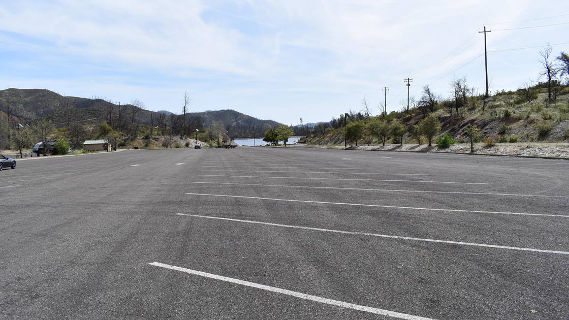
Oak Bottom boat launch on Whiskeytown Lake, beside the RV campgroundNPS PUBLIC

Oak Bottom RV Campground

Whiskeytown · Shasta Lake Corridor

  • RV only
  • Max 33 ft
  • Dry Camping (no hookups)
  • $20–$30 / night

Local insider tip: Be clear about what this is before you book it: twenty-two striped spaces on asphalt next to the overflow boat parking. The Park Service's own environmental assessment says it plainly — 22 sites on asphaltic concrete, no shade trees, no hookups, and lacking the amenities present at the tent sites including picnic tables and fire rings. A Campendium reviewer put it less kindly, objecting to paying a $25 entrance fee to park in a blacktop lot. So why do people book it anyway? Because of what is within a two-minute walk. This is the closest RV camping to a boat ramp anywhere in the park, with a marina renting 16-foot fishing boats, 24-foot pontoons, 26-foot deck cruisers, kayaks and paddleboards year-round. There is a store selling ice, firewood and snacks. There are flush toilets and hot showers. And the pump-out is free if you are a registered RV guest — non-guests pay $15. For a boater with a self-contained rig, the trade is obvious. Bring shade. This is the single most useful thing on the page. The Park Service's camping table describes Oak Bottom RV in two words — "abundant sunshine" — and its campground regulations page recommends bringing a shade structure because the vegetation was moderately to severely burned in the 2018 Carr Fire. Replacement oaks were planted in autumn 2020 and are still saplings. One camper recorded three consecutive days over 100 degrees. Bring quarters. The hot showers are coin-operated and take quarters only, and they are down at the beach rather than in the RV lot. The free showers are the beach rinse showers, which is a different thing. Two rules that catch people. Generators are capped at 60 decibels and must be off by 10pm, with quiet hours until 6am. And there is no day pass at Whiskeytown — arrive without an annual pass and you are buying the seven-day vehicle pass at $25 whether you stay one night or six. Food storage is a legal requirement here, not a suggestion. The Superintendent's Compendium requires food, garbage and cooking equipment to be in a bear-resistant locker or out of sight inside a hard-sided vehicle. There are no lockers at the RV spaces, so your rig is the compliant storage.

Direct with the operator

  • Boat ramp
  • Dog friendly
  • Dump station
  • Flush toilets
  • Potable water
  • Showers
  • Swimming
  • Fishing
  • Cell service
  • Generator hours restricted
  • Food storage required
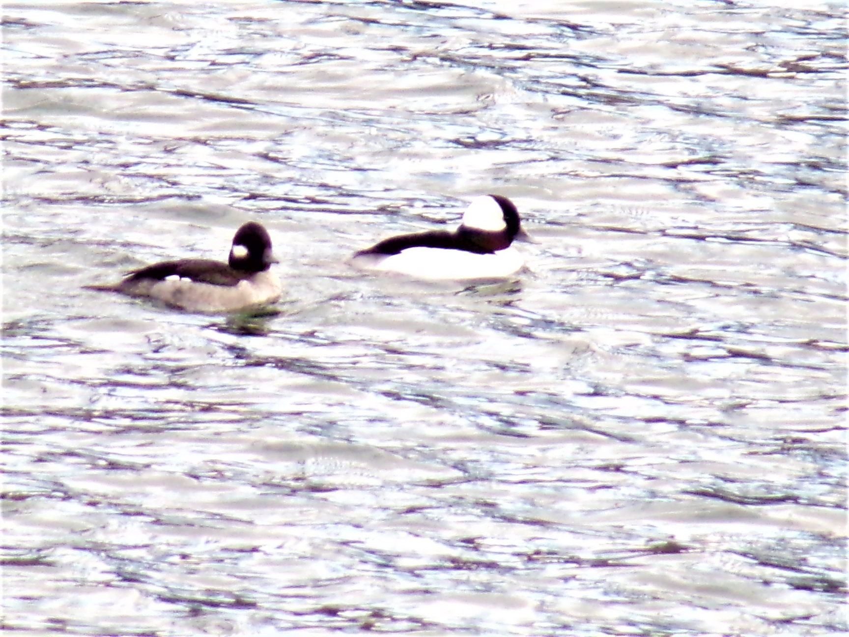
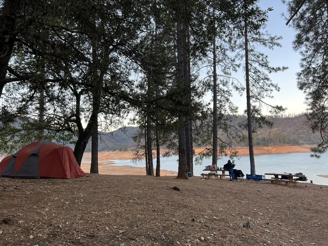
Whiskeytown Lake shoreline at the Oak Bottom armNPS PUBLIC

Oak Bottom Tent Campground

Whiskeytown · Shasta Lake Corridor

  • Tent only
  • Not published
  • Dry Camping (no hookups)
  • $30–$35 / night

Local insider tip: The whole campground turns on one distinction: shoreline sites versus everything else. Seventeen sites are on the water. The Park Service's environmental assessment confirms they allow boat mooring, which means you can beach a boat at your campsite — a thing almost no developed campground anywhere offers. They cost $35 instead of $30, they are the sites with real shade because the lakeside vegetation survived the Carr Fire, and they are the ones people return for year after year. One camper complained about exactly that, saying it feels unfair that the same people get the waterfront spots every year. The other roughly 77 sites are a different experience. The Park Service's own assessment says sites sit 25 to 50 feet apart with minimal privacy, and identifies overcrowding and user conflict as reasons it wants to redesign the place. Campers back this up: the non-shoreline sites are close together, and the table, fire ring and bear box can sit in full sun all day, which one reviewer called brutal for afternoon food prep on a hot day. Another logged three straight days over 100 degrees. Bring a shade structure — the Park Service itself recommends it. Walk-in means walk-in, and people get caught. One camper wrote that they camp out of a 4Runner, did not realise, and had to go buy a tent. Sleeping in vehicles is not allowed. The Park Service gives the walk distance as 10 to 500 feet from the parking areas; campsitephotos says 50 to 250. Either way, some of it is a steep downhill trail — loaded on the way in, uphill loaded on the way out. Wheelbarrows are provided; grab one early. The most consistent complaint in the whole review corpus is restroom capacity. Two restroom buildings serve up to 94 sites at six people each, and campers describe lines after dark and again early morning. The showers are coin-operated, quarters only, and they are down at the beach — not in the campground. Free showers means the beach rinse showers, which is a different thing. Bear lockers are at every site, and using them is a legal requirement under the Superintendent's Compendium, not a courtesy. Since your vehicle may be up to 500 feet away and you cannot sleep beside it, the locker is your only practical compliant storage. Off-season is a completely different campground. One camper in early October counted three occupied sites out of ninety-odd.

Direct with the operator

  • Boat ramp
  • Shade canopy
  • Dog friendly
  • Dump station
  • Flush toilets
  • Potable water
  • Showers
  • Swimming
  • Fishing
  • Picnic tables
  • Fire rings
  • Cell service
  • Generator hours restricted
  • Food storage required
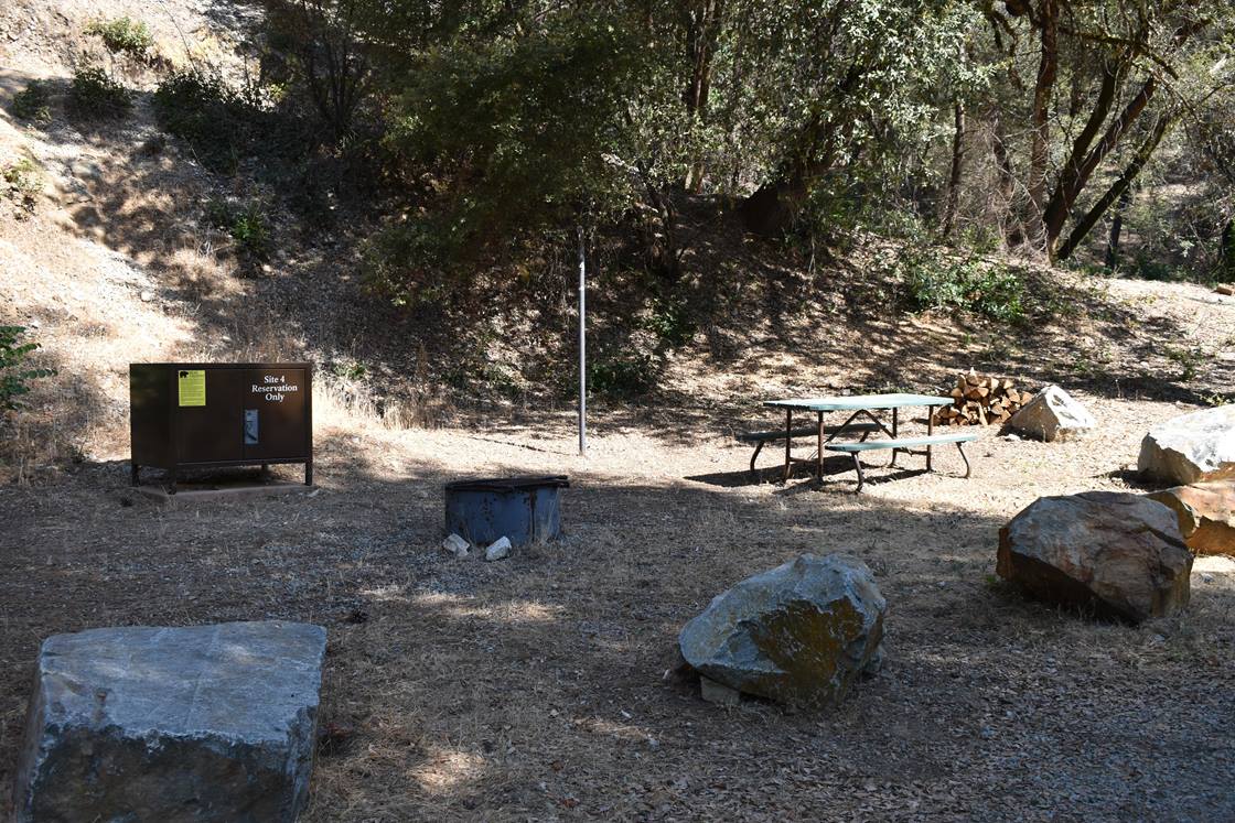
Pine Point Campground group area above the McCloud Arm of Shasta LakeUSFS PUBLIC

Pine Point Campground

McCloud Arm · Shasta Lake Corridor

  • Group site · Tent & RV
  • Max 24 ft
  • Dry Camping (no hookups)
  • $20–$160 / night

Local insider tip: Two calls before you come, and the first one is non-negotiable. Recreation.gov's notice names the number inline: group reservation holders must contact the Shasta Recreation Office on 530-275-8113 at least one week prior to arrival to receive the combination code to access the campground, and failure to do so could result in the inability to reach the campground without a refund. There is a locked gate. Without the code you are turning a hundred people around. The same gap exists here as at Moore Creek: that notice speaks only to group reservation holders, and nothing published anywhere explains how an individual family-site camper gets through the gate. Ask on the same call. The second call is about water, and this is Pine Point's genuine unknown. The Forest Service states that potable water is not available at this site. Recreation.gov says vault toilets and drinking water are provided. California's Best Camping says piped water. Hipcamp lists potable water. CampsitePhotos not only lists drinking water but includes a photograph captioned "Water." Five sources against the land manager, one of them photographic. We have marked water as available on the strength of that, but the agency that runs the place says otherwise — so arrive with everything you need and treat a working tap as a bonus. Worth knowing: the Forest Service says exactly the same "no potable water" line about Ellery Creek, where campers have since reported working spigots, which suggests the flag may simply be stale across several pages on this arm. Pine Point is the biggest group camp on the McCloud Arm at 100 people and 28 vehicles, against Moore Creek's 90 and Dekkas Rock's 60. It takes a larger rig than either — 24 feet posted, against 16 at both of them — which makes it the practical choice for a group towing anything substantial. It also has the best-attested shade of the three, with oak and pine over the sites and independent descriptions of natural screening between them. Every one of those descriptions is site copy rather than a camper report, so weigh it accordingly. A rule to pass to your group: Recreation.gov posts "No Amplified Sound!" in the notices. And the caveat that applies to this whole page. The Dyrt, Campendium and Hipcamp all show zero written reviews for Pine Point. We found no first-hand camper account at all. Published site counts range from 14 to 16 and no official number exists. If you read a confident description of what it is like to camp here, ask where it came from.

Recreation.gov

  • Shade canopy
  • Dog friendly
  • Vault toilets
  • Potable water
  • Swimming
  • Fishing
  • Picnic tables
  • Fire rings
  • Food storage required
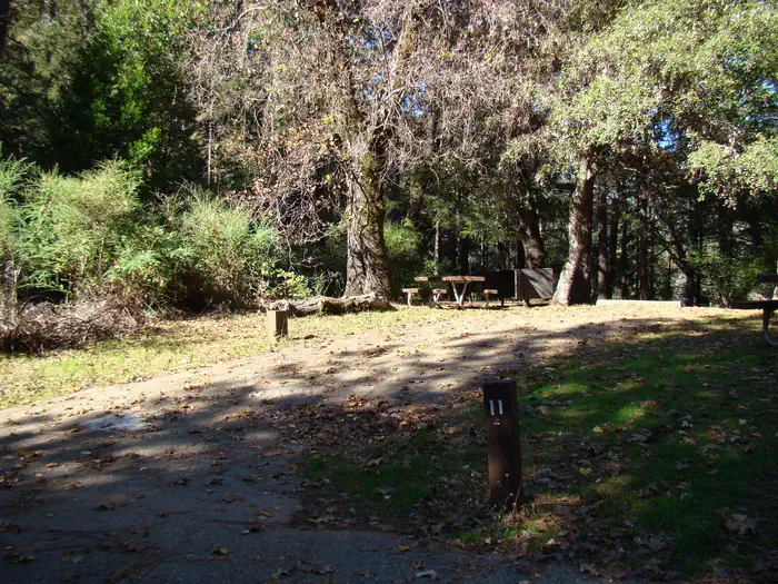
Ski Island Boat-In Campground
USFS PUBLIC

Ski Island Boat-In Campground

Pit River Arm · Shasta Lake Corridor

  • Tent only · Boat-in
  • Not published
  • Dry Camping (no hookups)
  • Free

Local insider tip: Two things make Ski Island unusual, and both are worth knowing before you commit a weekend to it. First, it is free. The Forest Service says outright that no fees are required, there are no reservations, and it does not appear on Recreation.gov at all — we checked the full Shasta-Trinity inventory and none of the four boat-in campgrounds are listed. There is no iron ranger and no app to pay through, because there is nothing to pay. Your only cost is the launch fee at the mainland ramp. Second, almost nobody has written about it. The Dyrt has zero reviews. Campendium and CampsitePhotos have no page for it at all. We found exactly one substantive first-hand account — a trip report from the first weekend of October 2024 — and most of what follows comes from it. That thinness is itself the story: this is a 29-unit campground that almost no one documents. What that account says, and it is the most practically useful thing on this page: the sites are UP from the water, not on it. The landing on the west side is a gradual slope to the trees, and getting gear to the site took several trips uphill, which the writer describes as nobody's favourite part. If you have read elsewhere that sites sit near the shoreline with direct water access, that claim comes from a page with no reviews on it and it conflicts with the only person who has actually described the walk. There is no dock and no mooring buoy. The method that camper used is the one to copy: two anchors, one off the stern in deeper water and one off the bow on shore, holding the boat a few feet off the beach. Facilities are real but minimal. Roughly half a dozen vault toilets around the island, described as rustic but clean and workable. Picnic tables — his site had two, which may mean it was a double, though no source confirms Ski Island has double sites. Fire rings, per the same account. No water of any kind: bring every drop. And no trash service at all — the Forest Service calls this a pack it in, pack it out facility, which is a real obligation on an island where nobody else will collect what you leave. Sites are numbered — that account references site 24 and site 8 — but no published map of the numbering exists. On solitude: he had the entire island to himself in early October. The Forest Service calls it very popular in summer. Both can be true.

Not reservable

  • Shade canopy
  • Dog friendly
  • Vault toilets
  • Swimming
  • Fishing
  • Picnic tables
  • Fire rings
  • Cell service
  • Food storage required
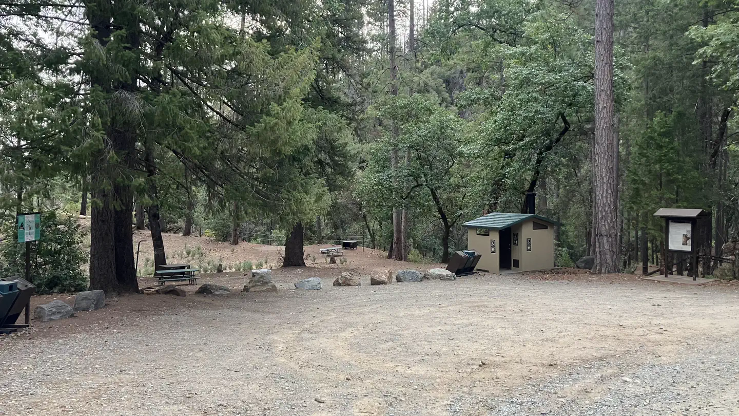
Upper Jones Valley Campground
USFS PUBLICClosed

Upper Jones Valley Campground

Pit River Arm · Shasta Lake Corridor

  • Tent & RV
  • Max 16 ft
  • Dry Camping (no hookups)
  • $28 / night

Local insider tip: Read the closure notice at the top of this page before you plan anything around Upper Jones Valley. The Forest Service flags it as closed with hours listed as "open as needed," and the concessionaire describes it as an overflow campground — it opens when Lower Jones Valley fills, which in practice means summer weekends and holidays, if at all. There is no published reopening date and no Recreation.gov listing to check availability against. One phone call to 530-275-1587 saves you a 45-minute drive. If it is open, here is what you are getting. Eight single sites, unpaved parking spurs, a vault toilet, and a picnic table and fire ring at each site. That is the whole facility. The unpaved spurs are the clearest physical difference from Lower Jones Valley just downhill, which has paved spurs and tent pads. Water is the thing to get right, because the sources disagree and the disagreement runs the wrong way. The Forest Service's own page for this campground states plainly that potable water is not available. The concessionaire says there are water spigots. Campendium reports a drinking water spigot, and Hipcamp lists potable water as available. Three sources contradict the land manager. We publish "no water" because that is the conservative reading and the land manager's own statement — arrive with everything you need and treat a working tap as luck. Lower Jones Valley definitely has water. Bear lockers are the same story in miniature: the concessionaire lists them, the Forest Service does not. Recreation.gov's guidance for every Jones Valley facility is that all food must be kept in approved containers, so bring a hard-sided container or plan to store food in your vehicle. Size matters here more than anywhere else in the cluster. Sixteen feet is the Forest Service's number, twenty-five is the concessionaire's. Even the generous figure rules out most travel trailers. A camper who stayed described the place as clean and peaceful but noted a party spot about half a mile down the road with shouting and engine noise at odd hours. There is exactly one substantive camper review of this campground online. Treat everything you read about it, including this page, as thinly sourced.

First come, first served

  • Shade canopy
  • Dog friendly
  • Vault toilets
  • Swimming
  • Fishing
  • Picnic tables
  • Fire rings
  • Food storage required
Every campground in Shasta Lake Corridor

Sacramento Arm

Sacramento Arm campgrounds
CampgroundTypeSitesMax rigHookupsBooking
Antlers CampgroundTent & RV5955 ftDry Camping (no hookups)Recreation.gov
Lakeshore East CampgroundTent & RV2545 ftDry Camping (no hookups)Recreation.gov

McCloud Arm

McCloud Arm campgrounds
CampgroundTypeSitesMax rigHookupsBooking
Bailey Cove CampgroundTent & RV745 ftDry Camping (no hookups)Recreation.gov
Ellery Creek CampgroundTent & RV1940 ftDry Camping (no hookups)Recreation.gov
Hirz Bay CampgroundTent & RV4650 ftDry Camping (no hookups)Recreation.gov
McCloud Bridge CampgroundTent & RV1435 ftDry Camping (no hookups)First come, first served
Moore Creek CampgroundGroup site · Tent & RV1316 ftDry Camping (no hookups)Recreation.gov
Pine Point CampgroundGroup site · Tent & RV1524 ftDry Camping (no hookups)Recreation.gov

Pit River Arm

Pit River Arm campgrounds
CampgroundTypeSitesMax rigHookupsBooking
Jones Valley Inlet Shoreline CampgroundTent & RV · Dispersed20Not publishedDry Camping (no hookups)First come, first served
Jones Valley Inlet West Dispersed AreaTent & RV · Dispersed20Not publishedDry Camping (no hookups)First come, first served
Lower Jones Valley CampgroundTent & RV1130 ftDry Camping (no hookups)First come, first served
Ski Island Boat-In CampgroundTent only · Boat-in29Not publishedDry Camping (no hookups)Not reservable
Upper Jones Valley CampgroundTent & RV816 ftDry Camping (no hookups)First come, first served

Whiskeytown

Whiskeytown campgrounds
CampgroundTypeSitesMax rigHookupsBooking
Brandy Creek RV CampgroundRV only1535 ftDry Camping (no hookups)Recreation.gov
Oak Bottom RV CampgroundRV only2233 ftDry Camping (no hookups)Direct with the operator
Oak Bottom Tent CampgroundTent only94Not publishedDry Camping (no hookups)Direct with the operator