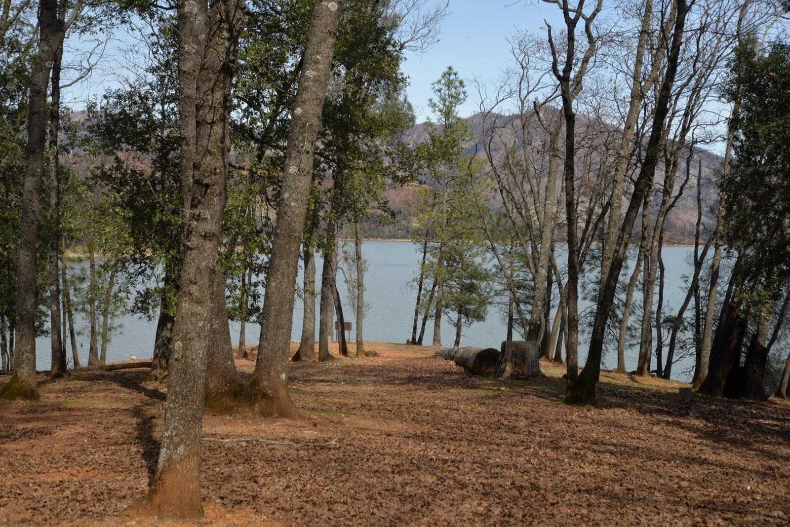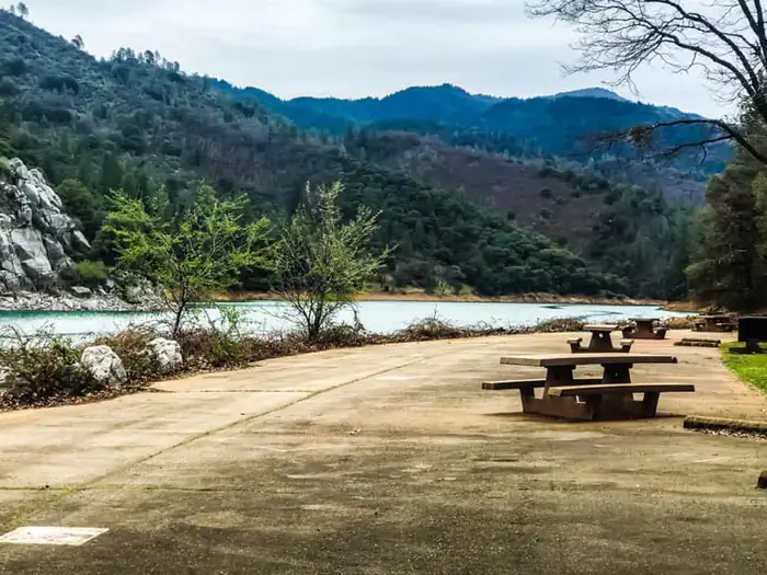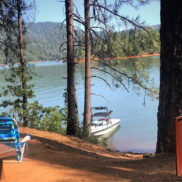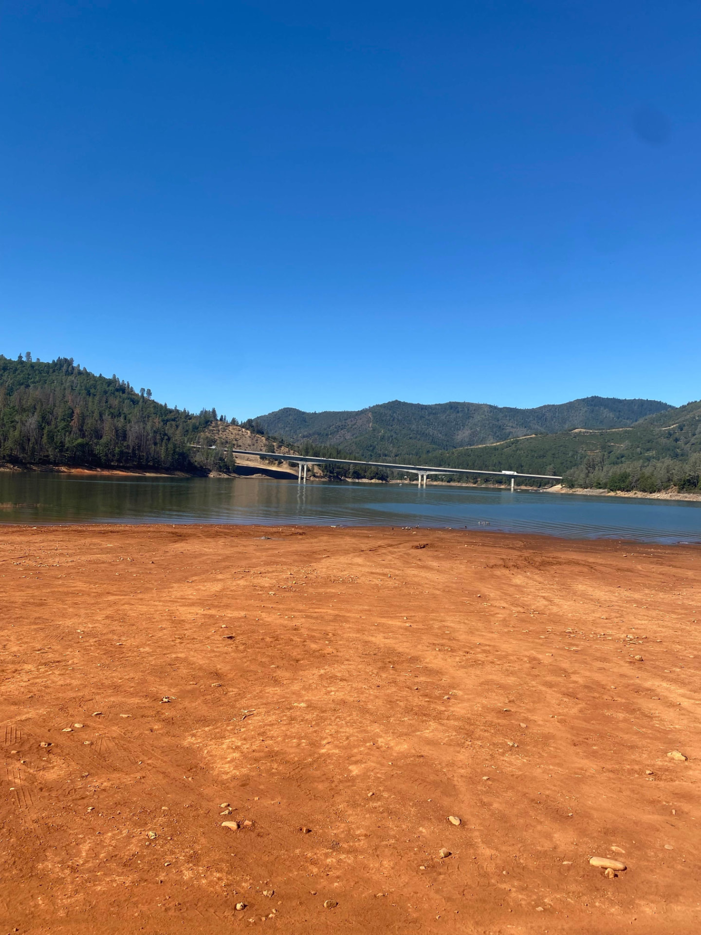
365 miles of shoreline

Shasta Lake Hub

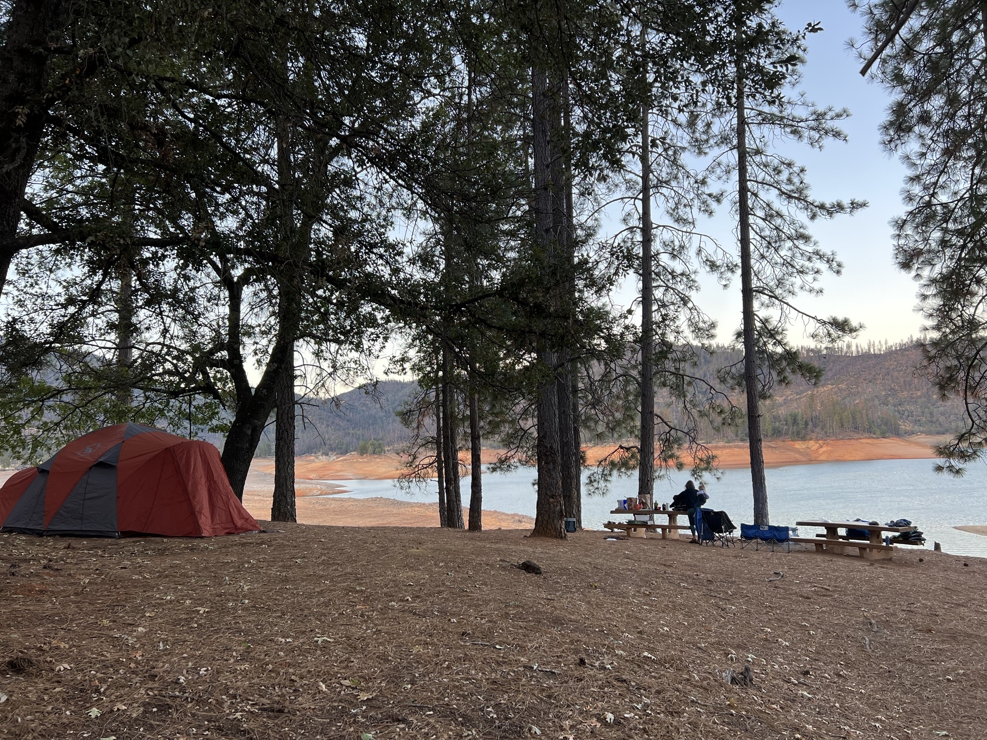
Four arms, one reservoir, and a 60-foot summer drawdown that changes everything. Here is how locals pick an arm, a ramp and a campsite.

The four arms

McCloud Arm

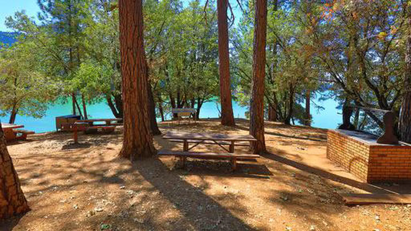
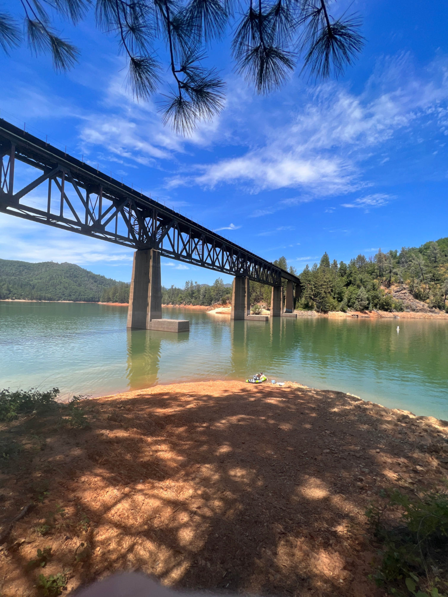
Emerald water, limestone walls, deepest shade. Small-rig country.

Ramps: Bailey Cove (2-lane) · Hirz Bay (1-lane)

Sacramento Arm

Closest to I-5, biggest pads, most reliable big-rig access.

Ramps: Antlers (multi-lane) · Salt Creek (1-lane) · Sugarloaf

Pit River Arm

Warm water, deep ramps that survive drawdown, best fishing.

Ramps: Lower Jones Valley (multi-lane) · Silverthorn

Shasta Dam / Keswick

Full hookups, free dispersed camping, and the dam tour.

Ramps: Centimudi (multi-lane)

Water levels & ramp usability

Shasta Lake elevation and ramp usability
Lake elevationWhat's openTypical months
1,067 ft (full pool)Every ramp on the lakeMay – June
1,000 – 1,040 ftAll main ramps; shallow McCloud ramps shortenJuly – August
Below 1,000 ftDeep ramps only — Jones Valley, Antlers, CentimudiSeptember – October
Read the full boat ramp & water level guide