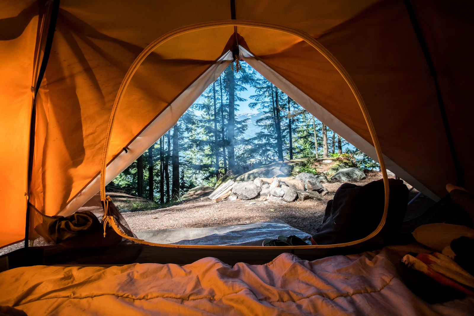
Salt Creek Campground
Sacramento Arm · Shasta-Cascade · 40.9051, -122.3925
One of the only lake campgrounds with electric hookups, wrapped around a seasonal creek at the Lakehead end of the Sacramento Arm.
Quick specs
- Length limit
- 32 ft
- Cell signal
- Boat launch
- Single-lane ramp
- Shade score
- 4/5
- Season
- May through early October
- Elevation
- 1,110 ft
| Hookups | Electric Only |
|---|---|
| Amenities | Boat Ramp, Shade Canopy, Dog Friendly, Flush Toilets, Dump Station |
| Booking | Recreation.gov |
Conditions right now
Lake level, forecast, alerts, fishing and the nearest public camera for Salt Creek Campground. Pulled from state and federal feeds and refreshed every morning.
Updated Aug 29, 12:54 AM PDT
Lake level
992 ft
74.9 ft below full pool
58.4% of capacity
The lake dropped about 4.6 ft over the past week. At 992 ft this ramp is close to its practical floor (around 990 ft). Expect a long, steep, dirty launch and consider Centimudi at the dam instead.
Gage reading for 2026-8-28
Source: California Data Exchange Center, Shasta Dam gage (SHA)
Weather
- OvernightClear59°F
- SaturdaySunny90°F
- Saturday NightClear59°F
- SundaySunny93°F
Clear, with a low around 59. North northwest wind around 5 mph.
Source: National Weather Service
Fire & weather alerts
No active National Weather Service alerts and no CAL FIRE incident within 45 miles as of this morning's check. Fire restrictions can still be in force, so read the forest order before you light anything.
Current Shasta-Trinity fire restrictionsSources: National Weather Service active alerts and CAL FIRE incident feed
Fishing report
Sacramento Arm fishing report
Summer pattern on the Sacramento Arm. Bass are off the banks and holding on the first drop — points, submerged brush and the shaded side of rock walls hold fish through the middle of the day. Get the topwater work done before the ski boats wake up, then go to a dropshot or a small jig on the same spots. Trollers are running downriggers well below the surface for kokanee and rainbows; the fish are stacked wherever the temperature breaks. The lake is sitting near 992 ft, so shoreline structure that held fish last month may be high and dry now.
- What is biting
- Spotted and smallmouth bass, kokanee, rainbow trout
- Where in the water column
- Bass 15–35 ft on structure, kokanee and trout 45–90 ft on the thermocline
Built from the Shasta Dam water temperature and elevation gages plus seasonal patterns on this arm. Reported 2026-08-29.
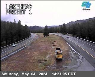
Nearest public camera
Lakehead · I-5
About 0.5 mi from the campground — useful for road surface, smoke and haze, not for checking your site.
Local deep dive
Local insider tip
The electric loop is the sleeper deal on the lake — 30 amp for less than half of a Redding RV park, and the creek keeps the sites 5 degrees cooler.
Access road & clearance
Short paved spur off Salt Creek Road; the last 200 yards is washboard gravel that will rattle loose cabinet latches.
Best loop for big rigs
32 ft is a hard ceiling. Sites 3, 9 and 11 are the only pads that stay level without a full stack of blocks.
Nearby things to do & rentals
Sponsored partners
Sugarloaf Cove Ski Boat Rental
Hourly and daily ski boats on the Sacramento Arm.
Check ratesLakehead General Store
Ice, propane swap and last-mile groceries.
Hours & directionsRelated guides